Tell Scott what the land has to do.
A house site, a weekend retreat, woods to walk and hunt, or fields to work — the reason decides which parcels are even worth looking at. Give Scott the area, the acreage and the use, and he searches Schoharie County for you.
Takes about a minute
What are you looking for in Schoharie County?
Five short answers. Scott replies the way you ask him to — no listing agreement, no subscription.
Your details go straight to Scott. Prefer to talk? Call (518) 522-7265.
Search land by place.
Starts on Schoharie County. Type any other town, county or ZIP to search there instead.
Searching land.
Rather have it done for you? Have Scott find land
What to ask before the price.
Two parcels of the same acreage can be worth very different money here. These are the six things that decide it.
- AccessTown road, seasonal road or a deeded right-of-way — and who keeps it open in winter.
- FrontageHow much of the parcel meets the road, and where a driveway could legally go.
- UtilitiesPower at the road, and what a well and septic would involve on this ground.
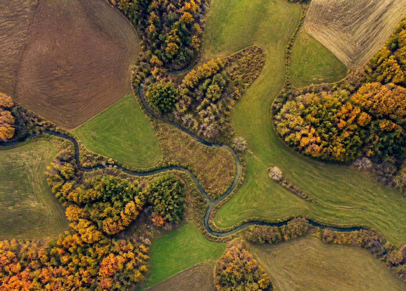
- TerrainOpen versus wooded, wet versus dry, and how much of it is genuinely usable.
- BoundariesWhether a survey exists, and how the tax-map lines read on the ground.
- UseWhat the town allows: building, camping, farming, logging or simply holding it.
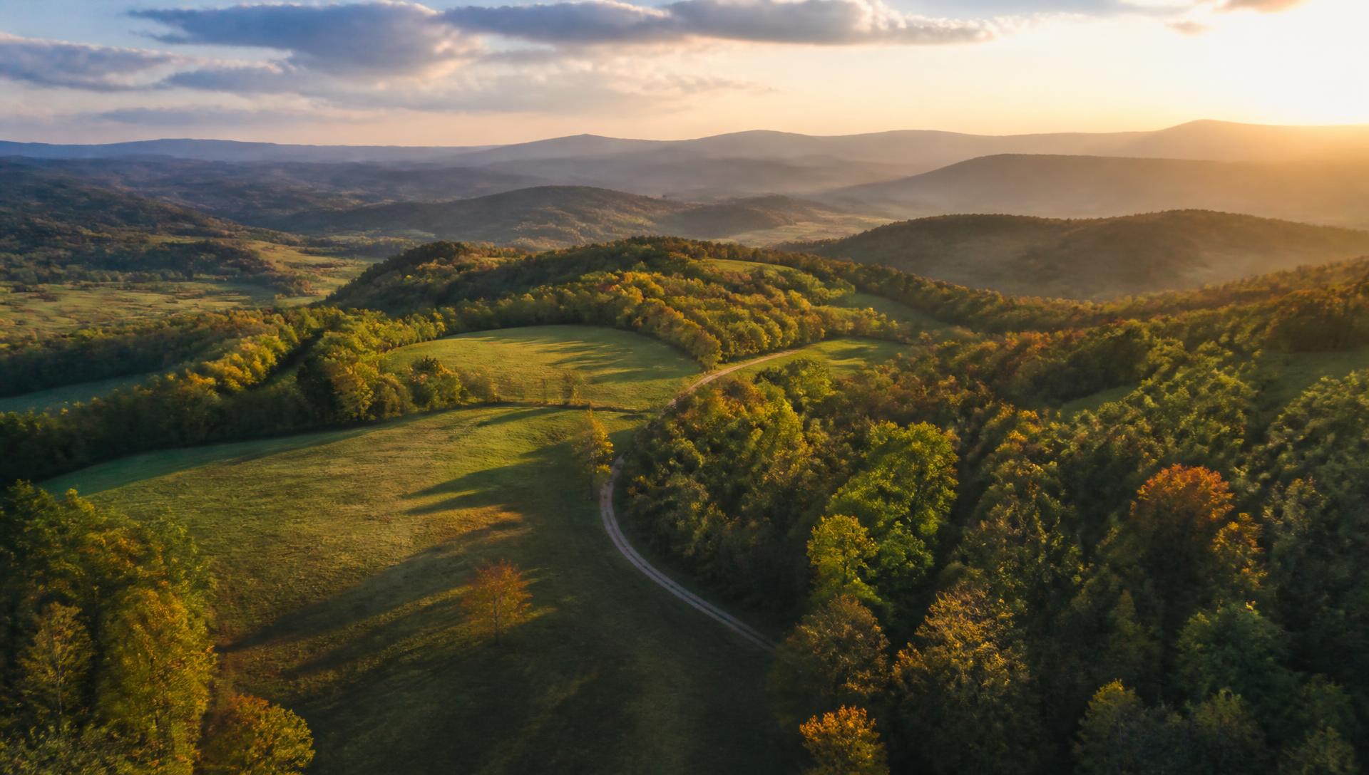
Valley farmland, wooded hillsides and ridge parcels sit within a few miles of each other: Cobleskill · Schoharie · Middleburgh · Gilboa · Conesville · Jefferson.
Boundaries, permitted use and utility availability must be confirmed with a survey, the town and your attorney.
Own land here?
A written review of what the records show for your parcel — including land that was listed before and did not sell.
Educational information only. Access, zoning, utilities, boundaries, soils, septic feasibility, wetlands, flood status and buildability must be independently verified with the municipality and qualified legal, survey, engineering and environmental professionals.