Albany County · New York
Albany County land.
Hill-town acreage, old field lots and small farms.
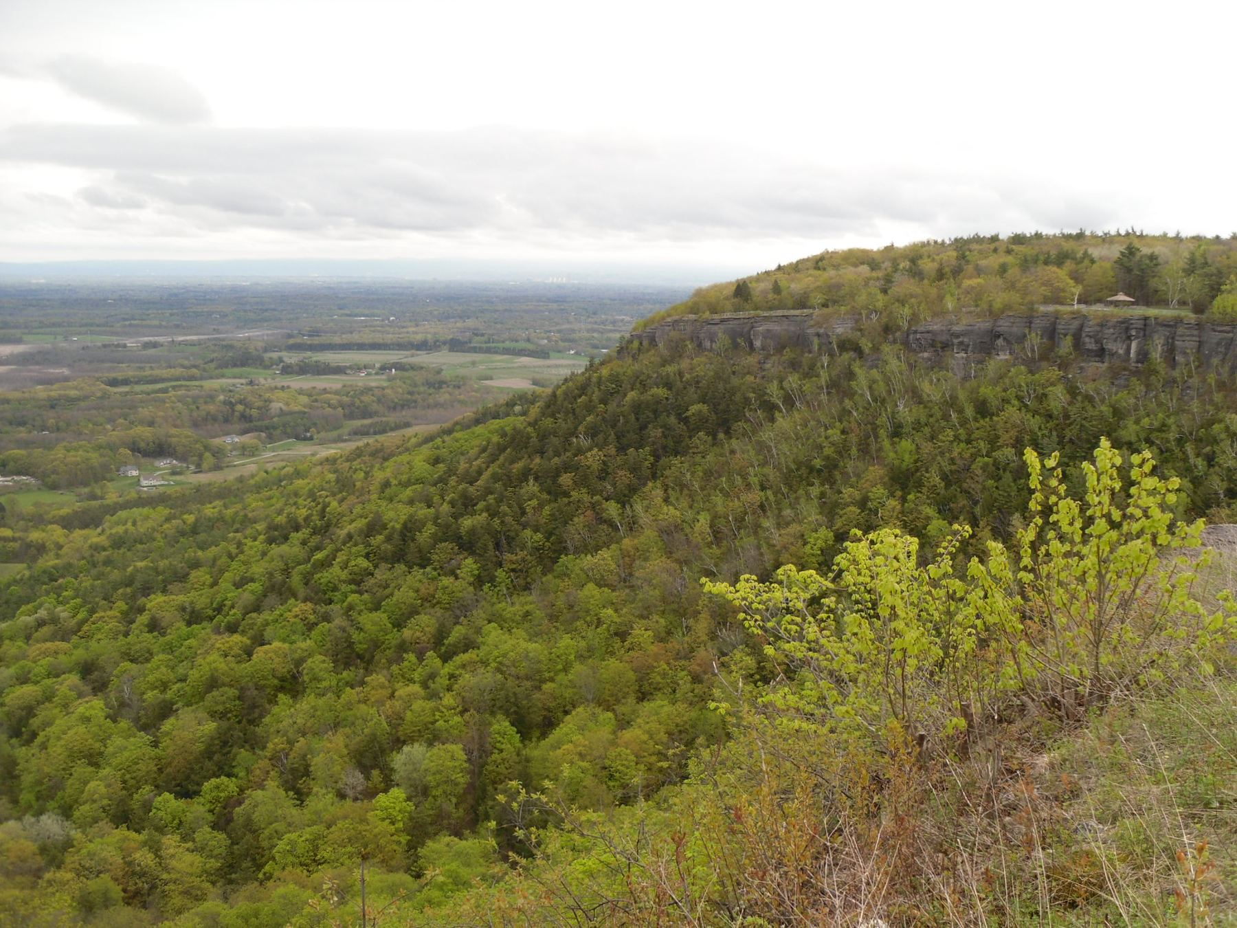
John Boyd Thacher State Park, New Scotland, Albany County, New York — regional scenery, not a property for sale. Photograph by Doug Kerr (Dougtone), source, CC BY-SA 2.0 — Resized, and cropped by the browser to fill the screen.

Scott Alvarez
Scott grew up in Preston Hollow, so the roads, the hills and the way parcels sit here are familiar ground.
Listed before and it didn't sell?
Start the same review with that noted — a written look at what the records show for your parcel, including land that was listed before and did not sell.
Takes about a minute
Request your Albany County land review
Five short answers. No cost, no obligation, and no listing agreement is involved.
Your details go straight to Scott. Prefer to talk? Call (518) 522-7265.
Read the parcel.
- Access.
- Boundaries.
- Utilities.
- Use.
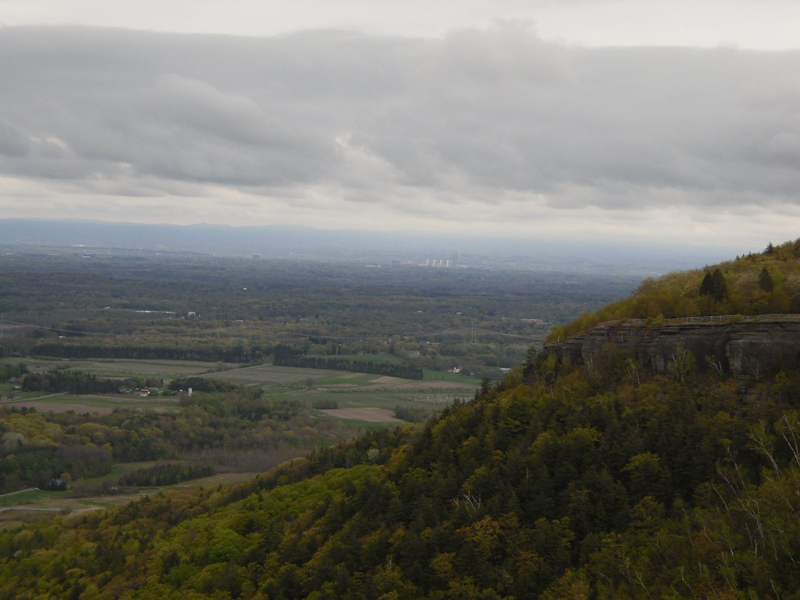
John Boyd Thacher State Park, New Scotland, Albany County, New York — regional scenery, not a property for sale. Photograph by Doug Kerr (Dougtone), source, CC BY-SA 2.0 — Resized, and cropped by the browser to fill the band.
Six questions every parcel raises.
The southwestern hill towns of Albany County are land country: wooded acreage, old field lots and small farms along town roads rather than subdivisions.
Access and frontage
How the parcel is legally reached: town road frontage, a deeded right of way, or a shared drive. Access shapes what a buyer can finance.
Zoning and permitted use
What the town currently allows, and what needs a variance or a permit. This is confirmed with the town — never assumed from a listing.
Utilities, well and septic
Power at the road, and whether water and septic are existing, permitted, or still to be tested. Each answer changes the buyer pool.
Terrain and usable land
Slope, wet areas, ledge and tree cover decide how much of the acreage a buyer can actually use.
Survey and boundaries
Whether a survey exists, how old it is, and where the corners actually are. Boundaries are confirmed by a surveyor.
Pricing and presentation
How the parcel is mapped, photographed and described, and what comparable land did — with the assumptions written out.
Towns covered here include Rensselaerville, Preston Hollow, Westerlo, Berne, Knox. Zoning, permitted use, utilities and boundaries are confirmed with the town, a surveyor and your attorney — nothing on this page answers them for your parcel.
Looking for land in Albany County?
Type a town, county or ZIP and the land search opens on it.
Searching land.
Rather have it done for you? Have Scott find land in Albany County
Educational information only. Access, zoning, utilities, boundaries, soils, septic feasibility, wetlands, flood status and buildability must be independently verified with the municipality and qualified legal, survey, engineering and environmental professionals.